Frotey-lès-Lure
Frotey-lès-Lure | |
|---|---|
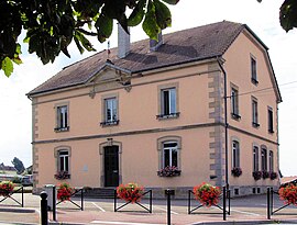 The town hall in Frotey-lès-Lure | |
 Coat of arms | |
Location of Frotey-lès-Lure  | |
 Frotey-lès-Lure  Frotey-lès-Lure | |
| Coordinates: 47°39′21″N 6°33′18″E / 47.6558°N 6.555°ECoordinates: 47°39′21″N 6°33′18″E / 47.6558°N 6.555°E | |
| Country | France |
| Region | Bourgogne-Franche-Comté |
| Department | Haute-Saône |
| Arrondissement | Lure |
| Canton | Lure-2 |
| Government | |
| • Mayor (2020–2026) | Christian Laroche |
| Area 1 | 7.21 km2 (2.78 sq mi) |
| Population (Jan. 2018)[1] | 687 |
| • Density | 95/km2 (250/sq mi) |
| Time zone | UTC+01:00 (CET) |
| • Summer (DST) | UTC+02:00 (CEST) |
| INSEE/Postal code | 70260 /70200 |
| Elevation | 292–332 m (958–1,089 ft) |
| 1 French Land Register data, which excludes lakes, ponds, glaciers > 1 km2 (0.386 sq mi or 247 acres) and river estuaries. | |
Frotey-lès-Lure (French pronunciation: [fʁɔtɛ lɛ lyʁ], literally Frotey near Lure) is a commune in the Haute-Saône department in the region of Bourgogne-Franche-Comté in eastern France.
See also[]
References[]
- ^ "Populations légales 2018". The National Institute of Statistics and Economic Studies. 28 December 2020.
| Wikimedia Commons has media related to Frotey-lès-Lure. |
This Haute-Saône geographical article is a stub. You can help Wikipedia by . |
Categories:
- Communes of Haute-Saône
- Haute-Saône geography stubs