Ségus
Ségus | |
|---|---|
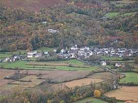 A view of the village | |
 Coat of arms | |
show Location of Ségus | |
 Ségus | |
| Coordinates: 43°04′15″N 0°04′32″W / 43.0708°N 0.0756°WCoordinates: 43°04′15″N 0°04′32″W / 43.0708°N 0.0756°W | |
| Country | France |
| Region | Occitanie |
| Department | Hautes-Pyrénées |
| Arrondissement | Argelès-Gazost |
| Canton | Lourdes-1 |
| Intercommunality | CA Tarbes-Lourdes-Pyrénées |
| Government | |
| • Mayor (2008–2014) | Laurent Barrau |
| Area 1 | 10.72 km2 (4.14 sq mi) |
| Population (Jan. 2018)[1] | 234 |
| • Density | 22/km2 (57/sq mi) |
| Time zone | UTC+01:00 (CET) |
| • Summer (DST) | UTC+02:00 (CEST) |
| INSEE/Postal code | 65415 /65100 |
| Elevation | 434–1,523 m (1,424–4,997 ft) (avg. 540 m or 1,770 ft) |
| 1 French Land Register data, which excludes lakes, ponds, glaciers > 1 km2 (0.386 sq mi or 247 acres) and river estuaries. | |


Ségus is a commune in the Hautes-Pyrénées department in south-western France.
See also[]
References[]
- ^ "Populations légales 2018". INSEE. 28 December 2020.
| Wikimedia Commons has media related to Ségus. |
This Hautes-Pyrénées geographical article is a stub. You can help Wikipedia by . |
Categories:
- Communes of Hautes-Pyrénées
- Hautes-Pyrénées geography stubs