Svatoslav (Brno-Country District)
Svatoslav | |
|---|---|
Municipality | |
 | |
 Flag  Coat of arms | |
 Svatoslav | |
| Coordinates: 49°17′55″N 16°18′19″E / 49.29861°N 16.30528°ECoordinates: 49°17′55″N 16°18′19″E / 49.29861°N 16.30528°E | |
| Country | |
| Region | South Moravian |
| District | Brno-Country |
| Area | |
| • Total | 8.47 km2 (3.27 sq mi) |
| Elevation | 482 m (1,581 ft) |
| Population (2006) | |
| • Total | 422 |
| • Density | 50/km2 (130/sq mi) |
| Postal code | 664 75 to 666 01 |
| Website | http://svatoslav.unas.cz |

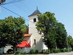
Svatoslav is a village and municipality (obec) in Brno-Country District in the South Moravian Region of the Czech Republic.
The municipality covers an area of 8.47 square kilometres (3.27 sq mi), and has a population of 422 (as at 3 July 2006).
Svatoslav lies approximately 26 kilometres (16 mi) north-west of Brno and 162 km (101 mi) south-east of Prague.
References[]
| Wikimedia Commons has media related to Svatoslav (Brno-Country District). |
This South Moravian Region location article is a stub. You can help Wikipedia by . |
Categories:
- Villages in Brno-Country District
- South Moravian Region geography stubs