Arras-en-Lavedan
Arras-en-Lavedan | |
|---|---|
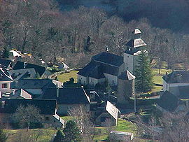 The commune viewed from the | |
 Coat of arms | |
show Location of Arras-en-Lavedan | |
 Arras-en-Lavedan | |
| Coordinates: 42°59′35″N 0°07′33″W / 42.9931°N 0.1258°WCoordinates: 42°59′35″N 0°07′33″W / 42.9931°N 0.1258°W | |
| Country | France |
| Region | Occitanie |
| Department | Hautes-Pyrénées |
| Arrondissement | Argelès-Gazost |
| Canton | La Vallée des Gaves |
| Intercommunality | Pyrénées Vallées des Gaves |
| Government | |
| • Mayor (2020–2026) | Charles Legrand[1] |
| Area 1 | 24.66 km2 (9.52 sq mi) |
| Population (Jan. 2018)[2] | 485 |
| • Density | 20/km2 (51/sq mi) |
| Time zone | UTC+01:00 (CET) |
| • Summer (DST) | UTC+02:00 (CEST) |
| INSEE/Postal code | 65029 /65400 |
| Elevation | 509–2,288 m (1,670–7,507 ft) (avg. 695 m or 2,280 ft) |
| 1 French Land Register data, which excludes lakes, ponds, glaciers > 1 km2 (0.386 sq mi or 247 acres) and river estuaries. | |


Arras-en-Lavedan is a commune in the Hautes-Pyrénées department in southwestern France.
Population[]
| Year | Pop. | ±% |
|---|---|---|
| 1962 | 800 | — |
| 1968 | 455 | −43.1% |
| 1975 | 402 | −11.6% |
| 1982 | 418 | +4.0% |
| 1990 | 418 | +0.0% |
| 1999 | 456 | +9.1% |
| 2006 | 539 | +18.2% |
| 2009 | 527 | −2.2% |
| 2015 | 490 | −7.0% |
See also[]
References[]
- ^ "Répertoire national des élus: les maires". data.gouv.fr, Plateforme ouverte des données publiques françaises (in French). 2 December 2020.
- ^ "Populations légales 2018". INSEE. 28 December 2020.
| Wikimedia Commons has media related to Arras-en-Lavedan. |
| show Authority control |
|---|
This Hautes-Pyrénées geographical article is a stub. You can help Wikipedia by . |
Categories:
- Communes of Hautes-Pyrénées
- Hautes-Pyrénées geography stubs