Fléac
Fléac | |
|---|---|
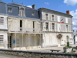 Town hall | |
 Coat of arms | |
show Location of Fléac | |
 Fléac | |
| Coordinates: 45°39′58″N 0°05′41″E / 45.6661°N 0.0947°ECoordinates: 45°39′58″N 0°05′41″E / 45.6661°N 0.0947°E | |
| Country | France |
| Region | Nouvelle-Aquitaine |
| Department | Charente |
| Arrondissement | Angoulême |
| Canton | Angoulême-1 |
| Intercommunality | Grand Angoulême |
| Government | |
| • Mayor (2008–2014) | Guy Étienne |
| Area 1 | 12.60 km2 (4.86 sq mi) |
| Population (Jan. 2018)[1] | 3,772 |
| • Density | 300/km2 (780/sq mi) |
| Time zone | UTC+01:00 (CET) |
| • Summer (DST) | UTC+02:00 (CEST) |
| INSEE/Postal code | 16138 /16730 |
| Elevation | 25–112 m (82–367 ft) (avg. 70 m or 230 ft) |
| 1 French Land Register data, which excludes lakes, ponds, glaciers > 1 km2 (0.386 sq mi or 247 acres) and river estuaries. | |


Fléac is a commune in the Charente department in southwestern France.
Population[]
|
|
See also[]
References[]
- ^ "Populations légales 2018". INSEE. 28 December 2020.
| Wikimedia Commons has media related to Fléac. |
| show Authority control |
|---|
This Charente geographical article is a stub. You can help Wikipedia by . |
Categories:
- Communes of Charente
- Charente geography stubs