Fleurac, Charente
Fleurac | |
|---|---|
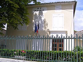 Town hall | |
show Location of Fleurac | |
 Fleurac | |
| Coordinates: 45°43′18″N 0°04′56″W / 45.7217°N 0.0822°WCoordinates: 45°43′18″N 0°04′56″W / 45.7217°N 0.0822°W | |
| Country | France |
| Region | Nouvelle-Aquitaine |
| Department | Charente |
| Arrondissement | Cognac |
| Canton | Jarnac |
| Government | |
| • Mayor (2008–2014) | Nicole Deschamphamlaère |
| Area 1 | 2.17 km2 (0.84 sq mi) |
| Population (Jan. 2018)[1] | 238 |
| • Density | 110/km2 (280/sq mi) |
| Time zone | UTC+01:00 (CET) |
| • Summer (DST) | UTC+02:00 (CEST) |
| INSEE/Postal code | 16139 /16200 |
| Elevation | 49–92 m (161–302 ft) (avg. 64 m or 210 ft) |
| 1 French Land Register data, which excludes lakes, ponds, glaciers > 1 km2 (0.386 sq mi or 247 acres) and river estuaries. | |


Fleurac is a commune in the Charente department in southwestern France.
Population[]
|
|
See also[]
References[]
- ^ "Populations légales 2018". INSEE. 28 December 2020.
| Wikimedia Commons has media related to Fleurac (Charente). |
This Charente geographical article is a stub. You can help Wikipedia by . |
Categories:
- Communes of Charente
- Charente geography stubs