Jouvençon
Jouvençon | |
|---|---|
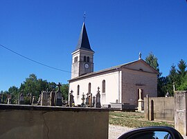 The church in Jouvençon | |
show Location of Jouvençon | |
 Jouvençon | |
| Coordinates: 46°34′30″N 5°03′19″E / 46.575°N 5.0553°ECoordinates: 46°34′30″N 5°03′19″E / 46.575°N 5.0553°E | |
| Country | France |
| Region | Bourgogne-Franche-Comté |
| Department | Saône-et-Loire |
| Arrondissement | Louhans |
| Canton | Cuiseaux |
| Area 1 | 6.3 km2 (2.4 sq mi) |
| Population (Jan. 2018)[1] | 433 |
| • Density | 69/km2 (180/sq mi) |
| Time zone | UTC+01:00 (CET) |
| • Summer (DST) | UTC+02:00 (CEST) |
| INSEE/Postal code | 71244 /71290 |
| Elevation | 172–197 m (564–646 ft) (avg. 193 m or 633 ft) |
| 1 French Land Register data, which excludes lakes, ponds, glaciers > 1 km2 (0.386 sq mi or 247 acres) and river estuaries. | |


Jouvençon is a commune in the Saône-et-Loire department in the region of Bourgogne-Franche-Comté in eastern France.
Geography[]
The Sâne Vive forms part of the commune's eastern border. The Seille forms the commune's western border.
See also[]
References[]
- ^ "Populations légales 2018". INSEE. 28 December 2020.
| Wikimedia Commons has media related to Jouvençon. |
| Authority control |
|
|---|
This Saône-et-Loire geographical article is a stub. You can help Wikipedia by . |
Categories:
- Communes of Saône-et-Loire
- Saône-et-Loire geography stubs