Kapawe'no 150D
Kapawe'no 150D
formerly Pakashan 150D | |
|---|---|
| Kapawe'no Indian Reserve No. 150D | |
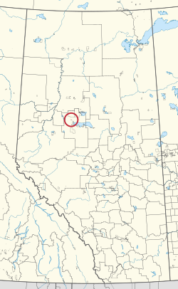 Location in Alberta | |
| First Nation | Kapawe'no |
| Treaty | 8 |
| Country | Canada |
| Province | Alberta |
| Municipal district | Big Lakes |
| Area | |
| • Total | 390.1 ha (964.0 acres) |
| Population (2016)[2] | |
| • Total | 5 |
| • Density | 1.3/km2 (3.3/sq mi) |
Kapawe'no 150D, formerly known as Pakashan 150D, is an Indian reserve of the Kapawe'no First Nation in Alberta, located within Big Lakes County.[3][4] It is 13 kilometres northwest of Lesser Slave Lake.[1] In the 2016 Canadian Census, it recorded a population of 5 living in 4 of its 7 total private dwellings.[2]
References[]
- ^ a b "Reserve/Settlement/Village Detail". Indigenous and Northern Affairs Canada. Government of Canada. Retrieved August 12, 2019.
- ^ a b "Census Profile, 2016 Census". Statistics Canada. February 8, 2017. Retrieved 2019-08-10.
- ^ Government of Alberta (May 25, 2019). Municipal Boundaries (Map). AltaLIS.
- ^ Ted Byfield, ed. (1984). The Atlas of Alberta. Interwest Publications Ltd. p. 131.
| Ethnolinguistic groups | |||||||||||||||||||||||||||
|---|---|---|---|---|---|---|---|---|---|---|---|---|---|---|---|---|---|---|---|---|---|---|---|---|---|---|---|
| Historical polities |
| ||||||||||||||||||||||||||
| Numbered Treaties | |||||||||||||||||||||||||||
| Tribal councils and band governments |
| ||||||||||||||||||||||||||
Coordinates: 55°36′55″N 116°16′07″W / 55.6152°N 116.2686°W

This article about an Indian reserve in Alberta is a stub. You can help Wikipedia by . |
This Northern Alberta location article is a stub. You can help Wikipedia by . |
Categories:
- Indian reserves in Alberta
- Alberta Indian reserve stubs
- Northern Alberta geography stubs