Kehewin 123
Kehewin 123 | |
|---|---|
| Kehewin Indian Reserve No. 123 | |
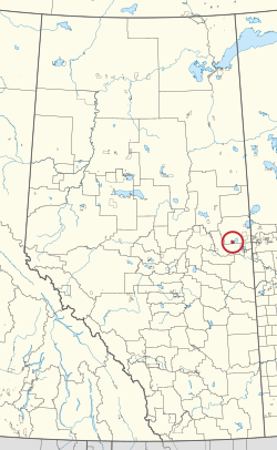 Location in Alberta | |
| First Nation | Kehewin Cree |
| Treaty | 6 |
| Country | Canada |
| Province | Alberta |
| Municipal district | Bonnyville No. 87 |
| Area | |
| • Total | 8,225 ha (20,324 acres) |
| Population (2016)[2] | |
| • Total | 976 |
| • Density | 12/km2 (31/sq mi) |
Kehewin 123 is an Indian reserve of the Kehewin Cree Nation in Alberta, located within the Municipal District of Bonnyville No. 87.[3] It is 20 kilometers south of Bonnyville.[1] In the 2016 Canadian Census, it recorded a population of 976 living in 233 of its 256 total private dwellings.[2] This reserve has a 40.5% high school completion rate, in comparison to the settler-average secondary schooling rate of 88%.[citation needed]
The unemployment rate as of 2001 was approximately 80%[4] and average incomes among those with full-time work are approximately $12,000 lower than the provincial average.
References[]
- ^ Jump up to: a b "Reserve/Settlement/Village Detail". Indigenous and Northern Affairs Canada. Government of Canada. Retrieved August 12, 2019.
- ^ Jump up to: a b "Census Profile, 2016 Census". Statistics Canada. February 8, 2017. Retrieved 2019-08-10.
- ^ Government of Alberta (May 25, 2019). Municipal Boundaries (Map). AltaLIS.
- ^ "2001 Census Aboriginal Population Profiles". Retrieved 14 February 2016.
| show |
|---|
Coordinates: 54°06′05″N 110°50′10″W / 54.1015°N 110.836°W

This Northern Alberta location article is a stub. You can help Wikipedia by . |
This article about an Indian reserve in Alberta is a stub. You can help Wikipedia by . |
- Indian reserves in Alberta
- Northern Alberta geography stubs
- Alberta Indian reserve stubs