Khirbat Al-Dumun
Al-Dumun
خربة الدامون Khirbet al Damun[1] | |
|---|---|
 Damon prison, 2010 | |
| Etymology: Duweimîn, the little dôm trees, a kind of Zizyphus[2] | |
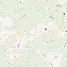
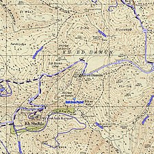
 A series of historical maps of the area around Khirbat Al-Dumun (click the buttons) | |
 Al-Dumun Location within Mandatory Palestine | |
| Coordinates: 32°43′58″N 35°01′20″E / 32.73278°N 35.02222°ECoordinates: 32°43′58″N 35°01′20″E / 32.73278°N 35.02222°E | |
| Palestine grid | 152/237 |
| Geopolitical entity | Mandatory Palestine |
| Subdistrict | Haifa |
| Date of depopulation | April 30, 1948[1] |
| Area | |
| • Total | 2,797 dunams (2.797 km2 or 1.080 sq mi) |
| Population (1945) | |
| • Total | 340[3][4] |
| Cause(s) of depopulation | Fear of being caught up in the fighting |
| Secondary cause | Military assault by Yishuv forces |


Al-Dumun was a Palestinian Arab village in the Haifa Subdistrict. It was depopulated during the 1947–1948 Civil War in Mandatory Palestine on April 30, 1948. It was located 10.5 km southeast of Haifa.
History[]
A known cave located in the area was used as a sheep fold. Flints artefacts from the cave had been dated to the Neolithic period.[5]
In 1881 the PEF's Survey of Western Palestine noted at Duweimin “foundations."[6]
British Mandate era[]
In the 1922 census of Palestine conducted by the British Mandate authorities, Al Damun had a population of 19 Muslims,[7] while in the 1931 census, it was counted under Isfiya.[8]
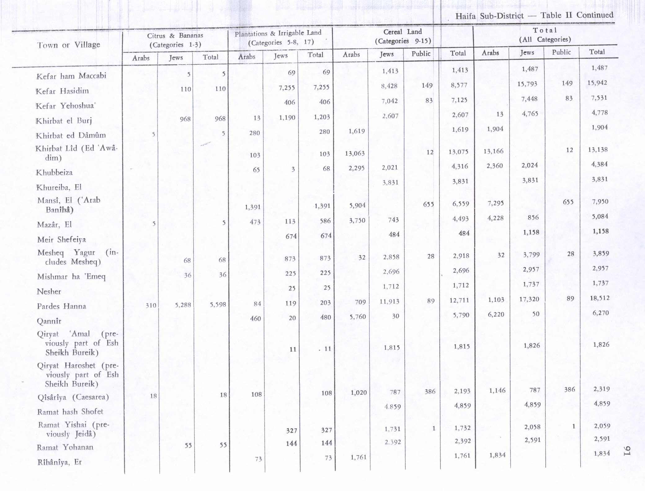
In the 1945 statistics the village had a population of 340 Muslims,[3] and the total land area was 2,797 dunams.[4] Of this, 5 dunams were used for citrus and bananas, 280 were for plantations and irrigable land, 1,619 for cereals,[9] while 893 dunams were non-cultivable land.[10]
1948, aftermath[]
At the end of April, 1948, the villagers surrendered without a fight, and the village was garrisoned by the Haganah. The villagers were, at first, allowed to stay.[11] Morris notes that part of the document stating this has been blacked out by the IDF censors, presumably, according to Morris, as the writer have suggested that the villagers were to be expelled.[12]
In 1992, the remains were described: "All that remains from the village is a building now used as a prison. Cactuses and few remaining fruit trees, such as pomegranate and almond trees, grown on the site. The land is forested and the area is currently used by Israelis for recreation."[5]
References[]
- ^ a b Morris, 2004, p. xviii village #384. Also gives causes of depopulation
- ^ Palmer, 1881, p. 109
- ^ a b Government of Palestine, Department of Statistics, 1945, p. 14
- ^ a b Government of Palestine, Department of Statistics. Village Statistics, April, 1945. Quoted in Hadawi, 1970, p. 48
- ^ a b Khalidi, 1992, p. 159
- ^ Conder and Kitchener, 1881, SWP I, p. 303
- ^ Barron, 1923, Table XI, Sub-District of Haifa, p. 33
- ^ Mills, 1932, p. 92
- ^ Government of Palestine, Department of Statistics. Village Statistics, April, 1945. Quoted in Hadawi, 1970, p. 91
- ^ Government of Palestine, Department of Statistics. Village Statistics, April, 1945. Quoted in Hadawi, 1970, p. 141
- ^ Morris, 2004, p. 209, note 305
- ^ Note 305, Morris, 2004, p. 283
Bibliography[]
- Barron, J.B., ed. (1923). Palestine: Report and General Abstracts of the Census of 1922. Government of Palestine.
- Government of Palestine, Department of Statistics (1945). Village Statistics, April, 1945.
- Hadawi, S. (1970). Village Statistics of 1945: A Classification of Land and Area ownership in Palestine. Palestine Liberation Organization Research Center.
- Khalidi, W. (1992). All That Remains: The Palestinian Villages Occupied and Depopulated by Israel in 1948. Washington D.C.: Institute for Palestine Studies. ISBN 0-88728-224-5.
- Mills, E., ed. (1932). Census of Palestine 1931. Population of Villages, Towns and Administrative Areas. Jerusalem: Government of Palestine.
- Morris, B. (2004). The Birth of the Palestinian Refugee Problem Revisited. Cambridge University Press. ISBN 978-0-521-00967-6.
- Palmer, E.H. (1881). The Survey of Western Palestine: Arabic and English Name Lists Collected During the Survey by Lieutenants Conder and Kitchener, R. E. Transliterated and Explained by E.H. Palmer. Committee of the Palestine Exploration Fund.
External links[]
- Welcome To al-Damun, Khirbat
- Khirbat al-Damun, Zochrot
- Survey of Western Palestine, Map 5: IAA, Wikimedia commons

- Arab villages depopulated prior to the 1948 Arab–Israeli War
- District of Haifa