La Collancelle
La Collancelle | |
|---|---|
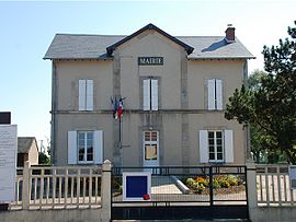 The town hall in La Collancelle | |
show Location of La Collancelle | |
 La Collancelle | |
| Coordinates: 47°10′33″N 3°38′27″E / 47.1758°N 3.6408°ECoordinates: 47°10′33″N 3°38′27″E / 47.1758°N 3.6408°E | |
| Country | France |
| Region | Bourgogne-Franche-Comté |
| Department | Nièvre |
| Arrondissement | Clamecy |
| Canton | Corbigny |
| Area 1 | 21.95 km2 (8.47 sq mi) |
| Population (Jan. 2018)[1] | 172 |
| • Density | 7.8/km2 (20/sq mi) |
| Time zone | UTC+01:00 (CET) |
| • Summer (DST) | UTC+02:00 (CEST) |
| INSEE/Postal code | 58080 /58800 |
| Elevation | 235–306 m (771–1,004 ft) |
| 1 French Land Register data, which excludes lakes, ponds, glaciers > 1 km2 (0.386 sq mi or 247 acres) and river estuaries. | |


La Collancelle is a commune in the Nièvre department in central France.
Demographics[]
At the 1999 census, the population was 178. On 1 January 2007, the estimate was 169.
See also[]
References[]
- ^ "Populations légales 2018". INSEE. 28 December 2020.
| Wikimedia Commons has media related to La Collancelle. |
This Nièvre geographical article is a stub. You can help Wikipedia by . |
Categories:
- Communes of Nièvre
- Nièvre geography stubs