Modrá Hůrka
Modrá Hůrka | |
|---|---|
Municipality | |
 | |
 Modrá Hůrka | |
| Coordinates: 49°10′49″N 14°31′34″E / 49.18028°N 14.52611°ECoordinates: 49°10′49″N 14°31′34″E / 49.18028°N 14.52611°E | |
| Country | |
| Region | South Bohemian |
| District | České Budějovice |
| Area | |
| • Total | 3.95 km2 (1.53 sq mi) |
| Elevation | 513 m (1,683 ft) |
| Population (2006) | |
| • Total | 74 |
| • Density | 19/km2 (49/sq mi) |
| Postal code | 373 66 |

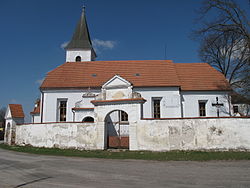
Modrá Hůrka is a village and municipality (obec) in České Budějovice District in the South Bohemian Region of the Czech Republic.
The municipality covers an area of 3.95 square kilometres (1.53 sq mi), and has a population of 74 (as at 3 July 2006).
Modrá Hůrka lies approximately 24 kilometres (15 mi) north of České Budějovice and 101 km (63 mi) south of Prague.
References[]
| Wikimedia Commons has media related to Modrá Hůrka. |
| Authority control: National libraries |
|---|
This South Bohemian Region location article is a stub. You can help Wikipedia by . |
Categories:
- Villages in České Budějovice District
- South Bohemian Region geography stubs