Cellettes, Charente
Cellettes | |
|---|---|
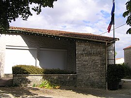 Town hall | |
show Location of Cellettes | |
 Cellettes | |
| Coordinates: 45°51′52″N 0°08′54″E / 45.8644°N 0.1483°ECoordinates: 45°51′52″N 0°08′54″E / 45.8644°N 0.1483°E | |
| Country | France |
| Region | Nouvelle-Aquitaine |
| Department | Charente |
| Arrondissement | Confolens |
| Canton | Boixe-et-Manslois |
| Intercommunality | Cœur de Charente |
| Government | |
| • Mayor (2008–2014) | Marc Bédier |
| Area 1 | 9.37 km2 (3.62 sq mi) |
| Population (Jan. 2018)[1] | 392 |
| • Density | 42/km2 (110/sq mi) |
| Time zone | UTC+01:00 (CET) |
| • Summer (DST) | UTC+02:00 (CEST) |
| INSEE/Postal code | 16069 /16230 |
| Elevation | 52–117 m (171–384 ft) (avg. 105 m or 344 ft) |
| 1 French Land Register data, which excludes lakes, ponds, glaciers > 1 km2 (0.386 sq mi or 247 acres) and river estuaries. | |


Cellettes is a commune in the Charente department in southwestern France.
Population[]
|
|
Gallery[]

in winter

Dolmen also wrongly said as a "sacrifice table", is located in the Forêt de Boixe
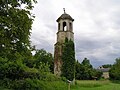
Chapel of the


See also[]
References[]
- ^ "Populations légales 2018". INSEE. 28 December 2020.
| Wikimedia Commons has media related to Cellettes (Charente). |
This Charente geographical article is a stub. You can help Wikipedia by . |
Categories:
- Communes of Charente
- Charente geography stubs