Étrepigney
Étrepigney | |
|---|---|
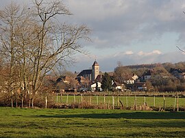 A general view of Étrepigney | |
 Coat of arms | |
show Location of Étrepigney | |
 Étrepigney | |
| Coordinates: 47°07′48″N 5°41′32″E / 47.13°N 5.6922°ECoordinates: 47°07′48″N 5°41′32″E / 47.13°N 5.6922°E | |
| Country | France |
| Region | Bourgogne-Franche-Comté |
| Department | Jura |
| Arrondissement | Dole |
| Canton | Mont-sous-Vaudrey |
| Government | |
| • Mayor (2020–2026) | Laurent Chenu |
| Area 1 | 15.60 km2 (6.02 sq mi) |
| Population (Jan. 2018)[1] | 428 |
| • Density | 27/km2 (71/sq mi) |
| Time zone | UTC+01:00 (CET) |
| • Summer (DST) | UTC+02:00 (CEST) |
| INSEE/Postal code | 39218 /39700 |
| Elevation | 207–262 m (679–860 ft) |
| 1 French Land Register data, which excludes lakes, ponds, glaciers > 1 km2 (0.386 sq mi or 247 acres) and river estuaries. | |


Étrepigney (French pronunciation: [etʁəpiɲɛ]) is a commune in the Jura department in Bourgogne-Franche-Comté in eastern France.
Population[]
|
|
See also[]
References[]
- ^ "Populations légales 2018". INSEE. 28 December 2020.
| Wikimedia Commons has media related to Étrepigney. |
This Jura geographical article is a stub. You can help Wikipedia by . |
Categories:
- Communes of Jura (department)
- Jura (department) geography stubs