Le Vernois
Le Vernois | |
|---|---|
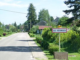 The road into Le Vernois | |
 Coat of arms | |
show Location of Le Vernois | |
 Le Vernois | |
| Coordinates: 46°43′55″N 5°35′39″E / 46.7319°N 5.5942°ECoordinates: 46°43′55″N 5°35′39″E / 46.7319°N 5.5942°E | |
| Country | France |
| Region | Bourgogne-Franche-Comté |
| Department | Jura |
| Arrondissement | Lons-le-Saunier |
| Canton | Poligny |
| Government | |
| • Mayor (2014–2020) | Jean-Claude Prost |
| Area 1 | 1.08 km2 (0.42 sq mi) |
| Population (Jan. 2018)[1] | 300 |
| • Density | 280/km2 (720/sq mi) |
| Time zone | UTC+01:00 (CET) |
| • Summer (DST) | UTC+02:00 (CEST) |
| INSEE/Postal code | 39553 /39210 |
| Elevation | 269–317 m (883–1,040 ft) |
| 1 French Land Register data, which excludes lakes, ponds, glaciers > 1 km2 (0.386 sq mi or 247 acres) and river estuaries. | |


Le Vernois is a commune in the Jura department in Bourgogne-Franche-Comté in eastern France.
Population[]
|
|
See also[]
References[]
- ^ "Populations légales 2018". INSEE. 28 December 2020.
| Wikimedia Commons has media related to Le Vernois. |
This Jura geographical article is a stub. You can help Wikipedia by . |
Categories:
- Communes of Jura (department)
- Jura (department) geography stubs