Gendrey
Gendrey | |
|---|---|
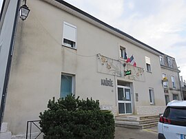 The town hall in Gendrey | |
 Coat of arms | |
show Location of Gendrey | |
 Gendrey | |
| Coordinates: 47°12′21″N 5°41′08″E / 47.2058°N 5.6856°ECoordinates: 47°12′21″N 5°41′08″E / 47.2058°N 5.6856°E | |
| Country | France |
| Region | Bourgogne-Franche-Comté |
| Department | Jura |
| Arrondissement | Dole |
| Canton | Authume |
| Government | |
| • Mayor (2020–2026) | Axelle Lereu-Lavry |
| Area 1 | 13.90 km2 (5.37 sq mi) |
| Population (Jan. 2018)[1] | 427 |
| • Density | 31/km2 (80/sq mi) |
| Time zone | UTC+01:00 (CET) |
| • Summer (DST) | UTC+02:00 (CEST) |
| INSEE/Postal code | 39246 /39350 |
| Elevation | 222–371 m (728–1,217 ft) |
| 1 French Land Register data, which excludes lakes, ponds, glaciers > 1 km2 (0.386 sq mi or 247 acres) and river estuaries. | |


Gendrey (French pronunciation: [ʒ��̃dʁɛ]) is a commune in the Jura department in Bourgogne-Franche-Comté in eastern France.
Population[]
|
|
See also[]
References[]
- ^ "Populations légales 2018". INSEE. 28 December 2020.
| Wikimedia Commons has media related to Gendrey. |
This Jura geographical article is a stub. You can help Wikipedia by . |
Categories:
- Communes of Jura (department)
- Jura (department) geography stubs