Monnières, Loire-Atlantique
Monnières | |
|---|---|
Commune | |
 | |
 Coat of arms | |
show Location of Monnières | |
 Monnières | |
| Coordinates: 47°07′57″N 1°21′17″W / 47.1325°N 1.3547°WCoordinates: 47°07′57″N 1°21′17″W / 47.1325°N 1.3547°W | |
| Country | France |
| Region | Pays de la Loire |
| Department | Loire-Atlantique |
| Arrondissement | Nantes |
| Canton | Clisson |
| Intercommunality | Clisson Sèvre et Maine Agglo |
| Government | |
| • Mayor (2020–2026) | Benoît Couteau |
| Area 1 | 9.78 km2 (3.78 sq mi) |
| Population (Jan. 2018)[1] | 2,263 |
| • Density | 230/km2 (600/sq mi) |
| Time zone | UTC+01:00 (CET) |
| • Summer (DST) | UTC+02:00 (CEST) |
| INSEE/Postal code | 44100 /44690 |
| Elevation | 2–61 m (6.6–200.1 ft) |
| 1 French Land Register data, which excludes lakes, ponds, glaciers > 1 km2 (0.386 sq mi or 247 acres) and river estuaries. | |


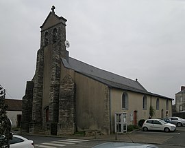
Monnières is a commune in the Loire-Atlantique department in western France.
Population[]
|
|
See also[]
- Communes of the Loire-Atlantique department
References[]
- ^ "Populations légales 2018". INSEE. 28 December 2020.
| Wikimedia Commons has media related to Monnières (Loire-Atlantique). |
This Loire-Atlantique geographical article is a stub. You can help Wikipedia by . |
Categories:
- Communes of Loire-Atlantique
- Loire-Atlantique geography stubs