Vidai
Vidai | |
|---|---|
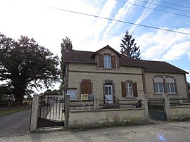 The town hall in Vidai | |
show Location of Vidai | |
 Vidai | |
| Coordinates: 48°27′35″N 0°22′48″E / 48.4597°N 0.38°ECoordinates: 48°27′35″N 0°22′48″E / 48.4597°N 0.38°E | |
| Country | France |
| Region | Normandy |
| Department | Orne |
| Arrondissement | Alençon |
| Canton | Écouves |
| Intercommunality | Vallée de la Haute Sarthe |
| Government | |
| • Mayor (2008–2014) | Mauricette Decroix |
| Area 1 | 1.55 km2 (0.60 sq mi) |
| Population (Jan. 2018)[1] | 97 |
| • Density | 63/km2 (160/sq mi) |
| Time zone | UTC+01:00 (CET) |
| • Summer (DST) | UTC+02:00 (CEST) |
| INSEE/Postal code | 61502 /61360 |
| Elevation | 144–158 m (472–518 ft) (avg. 151 m or 495 ft) |
| 1 French Land Register data, which excludes lakes, ponds, glaciers > 1 km2 (0.386 sq mi or 247 acres) and river estuaries. | |


Vidai is a commune in the Orne department in north-western France.
See also[]
- Communes of the Orne department
References[]
- ^ "Populations légales 2018". INSEE. 28 December 2020.
| Wikimedia Commons has media related to Vidai. |
| show Communes of the Orne department |
|---|
This Orne geographical article is a stub. You can help Wikipedia by . |
Categories:
- Communes of Orne
- Orne geography stubs