Lupcourt
Lupcourt | |
|---|---|
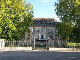 The chateau in Lupcourt | |
 Coat of arms | |
show Location of Lupcourt | |
 Lupcourt | |
| Coordinates: 48°36′43″N 6°14′10″E / 48.6119°N 6.2361°ECoordinates: 48°36′43″N 6°14′10″E / 48.6119°N 6.2361°E | |
| Country | France |
| Region | Grand Est |
| Department | Meurthe-et-Moselle |
| Arrondissement | Nancy |
| Canton | Jarville-la-Malgrange |
| Intercommunality | Pays du Sel et du Vermois |
| Government | |
| • Mayor (2008–2014) | Pierre Bernard |
| Area 1 | 6.94 km2 (2.68 sq mi) |
| Population (Jan. 2018)[1] | 438 |
| • Density | 63/km2 (160/sq mi) |
| Time zone | UTC+01:00 (CET) |
| • Summer (DST) | UTC+02:00 (CEST) |
| INSEE/Postal code | 54330 /54210 |
| Elevation | 226–322 m (741–1,056 ft) (avg. 245 m or 804 ft) |
| 1 French Land Register data, which excludes lakes, ponds, glaciers > 1 km2 (0.386 sq mi or 247 acres) and river estuaries. | |


Lupcourt is a commune in the Meurthe-et-Moselle department in north-eastern France.
See also[]
References[]
- ^ "Populations légales 2018". INSEE. 28 December 2020.
| Wikimedia Commons has media related to Lupcourt. |
This Meurthe-et-Moselle geographical article is a stub. You can help Wikipedia by . |
Categories:
- Communes of Meurthe-et-Moselle
- Meurthe-et-Moselle geography stubs