Bayon, Meurthe-et-Moselle
Bayon | |
|---|---|
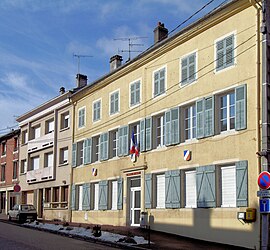 The town hall in Bayon | |
 Coat of arms | |
show Location of Bayon | |
 Bayon | |
| Coordinates: 48°28′32″N 6°18′57″E / 48.4756°N 6.3158°ECoordinates: 48°28′32″N 6°18′57″E / 48.4756°N 6.3158°E | |
| Country | France |
| Region | Grand Est |
| Department | Meurthe-et-Moselle |
| Arrondissement | Lunéville |
| Canton | Lunéville-2 |
| Intercommunality | Meurthe, Mortagne, Moselle |
| Government | |
| • Mayor (2008–2014) | Michel Claire |
| Area 1 | 6.05 km2 (2.34 sq mi) |
| Population (Jan. 2018)[1] | 1,583 |
| • Density | 260/km2 (680/sq mi) |
| Time zone | UTC+01:00 (CET) |
| • Summer (DST) | UTC+02:00 (CEST) |
| INSEE/Postal code | 54054 /54290 |
| Elevation | 242–397 m (794–1,302 ft) (avg. 267 m or 876 ft) |
| 1 French Land Register data, which excludes lakes, ponds, glaciers > 1 km2 (0.386 sq mi or 247 acres) and river estuaries. | |


Bayon (French pronunciation: [bajɔ̃]) is a commune in the Meurthe-et-Moselle department in northeastern France.
Twinning : Straelen in Germany, since 7 July 1963.
Population[]
|
|
See also[]
References[]
- ^ "Populations légales 2018". INSEE. 28 December 2020.
| Wikimedia Commons has media related to Bayon (Meurthe-et-Moselle). |
| show Authority control |
|---|
This Meurthe-et-Moselle geographical article is a stub. You can help Wikipedia by . |
Categories:
- Communes of Meurthe-et-Moselle
- Meurthe-et-Moselle geography stubs