Omet
Omet | |
|---|---|
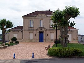 Town hall | |
show Location of Omet | |
 Omet | |
| Coordinates: 44°39′07″N 0°16′52″W / 44.652°N 0.281°WCoordinates: 44°39′07″N 0°16′52″W / 44.652°N 0.281°W | |
| Country | France |
| Region | Nouvelle-Aquitaine |
| Department | Gironde |
| Arrondissement | Langon |
| Canton | L'Entre-Deux-Mers |
| Government | |
| • Mayor (2008–2014) | Jean-Philippe Audinet |
| Area 1 | 2.62 km2 (1.01 sq mi) |
| Population (Jan. 2018)[1] | 303 |
| • Density | 120/km2 (300/sq mi) |
| Time zone | UTC+01:00 (CET) |
| • Summer (DST) | UTC+02:00 (CEST) |
| INSEE/Postal code | 33308 /33410 |
| Elevation | 84–84 m (276–276 ft) (avg. 84 m or 276 ft) |
| 1 French Land Register data, which excludes lakes, ponds, glaciers > 1 km2 (0.386 sq mi or 247 acres) and river estuaries. | |


Omet is a commune in the Gironde department in Nouvelle-Aquitaine in southwestern France.
Population[]
|
|
See also[]
References[]
- ^ "Populations légales 2018". INSEE. 28 December 2020.
| Wikimedia Commons has media related to Omet. |
This Gironde geographical article is a stub. You can help Wikipedia by . |
Categories:
- Communes of Gironde
- Gironde geography stubs