Vandrimare
Vandrimare | |
|---|---|
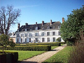 The château of Vandrimare | |
 Coat of arms | |
show Location of Vandrimare | |
 Vandrimare | |
| Coordinates: 49°22′50″N 1°20′39″E / 49.3806°N 1.3442°ECoordinates: 49°22′50″N 1°20′39″E / 49.3806°N 1.3442°E | |
| Country | France |
| Region | Normandy |
| Department | Eure |
| Arrondissement | Les Andelys |
| Canton | Romilly-sur-Andelle |
| Government | |
| • Mayor (2008–2014) | Jacques Poletti |
| Area 1 | 6.48 km2 (2.50 sq mi) |
| Population (Jan. 2018)[1] | 958 |
| • Density | 150/km2 (380/sq mi) |
| Time zone | UTC+01:00 (CET) |
| • Summer (DST) | UTC+02:00 (CEST) |
| INSEE/Postal code | 27670 /27380 |
| Elevation | 45–141 m (148–463 ft) (avg. 124 m or 407 ft) |
| 1 French Land Register data, which excludes lakes, ponds, glaciers > 1 km2 (0.386 sq mi or 247 acres) and river estuaries. | |


Vandrimare is a commune in the Eure department in Normandy in northern France.
Population[]
|
|
See also[]
- Communes of the Eure department
References[]
- ^ "Populations légales 2018". INSEE. 28 December 2020.
| Wikimedia Commons has media related to Vandrimare. |
| show Communes of the Eure department |
|---|
This Eure geographical article is a stub. You can help Wikipedia by . |
Categories:
- Communes of Eure
- Eure geography stubs