Plourin
Plourin
Plourin-Gwitalmeze | |
|---|---|
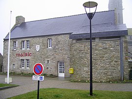 The town hall in Plourin | |
show Location of Plourin | |
 Plourin | |
| Coordinates: 48°30′37″N 4°41′03″W / 48.5103°N 4.6842°WCoordinates: 48°30′37″N 4°41′03″W / 48.5103°N 4.6842°W | |
| Country | France |
| Region | Brittany |
| Department | Finistère |
| Arrondissement | Brest |
| Canton | Saint-Renan |
| Intercommunality | Pays d'Iroise |
| Government | |
| • Mayor (2020–2026) | Antoine Corolleur[1] |
| Area 1 | 25.69 km2 (9.92 sq mi) |
| Population (Jan. 2018)[2] | 1,241 |
| • Density | 48/km2 (130/sq mi) |
| Time zone | UTC+01:00 (CET) |
| • Summer (DST) | UTC+02:00 (CEST) |
| INSEE/Postal code | 29208 /29830 |
| Elevation | 13–100 m (43–328 ft) |
| 1 French Land Register data, which excludes lakes, ponds, glaciers > 1 km2 (0.386 sq mi or 247 acres) and river estuaries. | |


Plourin (French pronunciation: [pluʁɛ̃]; Breton: Plourin-Gwitalmeze) is a commune in the Finistère department of Brittany in north-western France.
Population[]
Inhabitants of Plourin are called in French Plourinois.
| Year | Pop. | ±% |
|---|---|---|
| 1962 | 1,125 | — |
| 1968 | 978 | −13.1% |
| 1975 | 851 | −13.0% |
| 1982 | 889 | +4.5% |
| 1990 | 895 | +0.7% |
| 1999 | 983 | +9.8% |
| 2008 | 1,146 | +16.6% |
See also[]
References[]
- ^ "Répertoire national des élus: les maires". data.gouv.fr, Plateforme ouverte des données publiques françaises (in French). 2 December 2020.
- ^ "Populations légales 2018". INSEE. 28 December 2020.
External links[]
| Wikimedia Commons has media related to Plourin. |
- Official website (in French)
- Base Mérimée: Search for heritage in the commune, Ministère français de la Culture. (in French)
- Mayors of Finistère Association (in French)
| show Authority control |
|---|
This Finistère geographical article is a stub. You can help Wikipedia by . |
Categories:
- Communes of Finistère
- Finistère geography stubs