Coulobres
Coulobres | |
|---|---|
 Coat of arms | |
show Location of Coulobres | |
 Coulobres | |
| Coordinates: 43°27′02″N 3°16′49″E / 43.4506°N 3.2803°ECoordinates: 43°27′02″N 3°16′49″E / 43.4506°N 3.2803°E | |
| Country | France |
| Region | Occitanie |
| Department | Hérault |
| Arrondissement | Béziers |
| Canton | Pézenas |
| Intercommunality | CA Béziers Méditerranée |
| Government | |
| • Mayor (2020–2026) | Gérard Boyer |
| Area 1 | 2.99 km2 (1.15 sq mi) |
| Population (Jan. 2018)[1] | 357 |
| • Density | 120/km2 (310/sq mi) |
| Time zone | UTC+01:00 (CET) |
| • Summer (DST) | UTC+02:00 (CEST) |
| INSEE/Postal code | 34085 /34290 |
| Elevation | 55–120 m (180–394 ft) (avg. 72 m or 236 ft) |
| 1 French Land Register data, which excludes lakes, ponds, glaciers > 1 km2 (0.386 sq mi or 247 acres) and river estuaries. | |


Coulobres (French pronunciation: [kulɔbʁ]; Occitan: Colòbres) is a commune in the Hérault department in southern France.
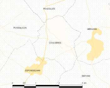
Map
Population[]
| Year | Pop. | ±% |
|---|---|---|
| 1962 | 192 | — |
| 1968 | 193 | +0.5% |
| 1975 | 152 | −21.2% |
| 1982 | 193 | +27.0% |
| 1990 | 202 | +4.7% |
| 1999 | 229 | +13.4% |
| 2008 | 302 | +31.9% |
See also[]
References[]
- ^ "Populations légales 2018". INSEE. 28 December 2020.
| Wikimedia Commons has media related to Coulobres. |
This Hérault geographical article is a stub. You can help Wikipedia by . |
Categories:
- Communes of Hérault
- Hérault geography stubs