Lavalette, Hérault
Lavalette | |
|---|---|
show Location of Lavalette | |
 Lavalette | |
| Coordinates: 43°41′33″N 3°16′25″E / 43.6925°N 3.2736°ECoordinates: 43°41′33″N 3°16′25″E / 43.6925°N 3.2736°E | |
| Country | France |
| Region | Occitanie |
| Department | Hérault |
| Arrondissement | Lodève |
| Canton | Lodève |
| Intercommunality | Lodévois et Larzac |
| Government | |
| • Mayor (2020–2026) | Claire Van Der Horst |
| Area 1 | 8.54 km2 (3.30 sq mi) |
| Population (Jan. 2018)[1] | 59 |
| • Density | 6.9/km2 (18/sq mi) |
| Time zone | UTC+01:00 (CET) |
| • Summer (DST) | UTC+02:00 (CEST) |
| INSEE/Postal code | 34133 /34700 |
| Elevation | 201–685 m (659–2,247 ft) (avg. 180 m or 590 ft) |
| 1 French Land Register data, which excludes lakes, ponds, glaciers > 1 km2 (0.386 sq mi or 247 acres) and river estuaries. | |


Lavalette (French pronunciation: [lavalɛt] (![]() listen); Occitan: La Valeta) is a commune in the Hérault département in the Occitanie region in southern France.
listen); Occitan: La Valeta) is a commune in the Hérault département in the Occitanie region in southern France.
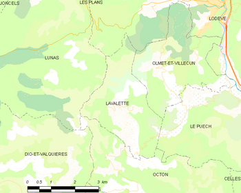
Map
Population[]
| Year | Pop. | ±% |
|---|---|---|
| 1962 | 13 | — |
| 1968 | 24 | +84.6% |
| 1975 | 18 | −25.0% |
| 1982 | 40 | +122.2% |
| 1990 | 34 | −15.0% |
| 1999 | 37 | +8.8% |
| 2008 | 50 | +35.1% |
See also[]
References[]
- ^ "Populations légales 2018". INSEE. 28 December 2020.
| Wikimedia Commons has media related to Lavalette (Hérault). |
This Hérault geographical article is a stub. You can help Wikipedia by . |
Categories:
- Communes of Hérault
- Hérault geography stubs