Aroffe
Aroffe | |
|---|---|
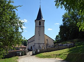 The church in Aroffe | |
 Coat of arms | |
show Location of Aroffe | |
 Aroffe | |
| Coordinates: 48°24′06″N 5°54′00″E / 48.4017°N 5.9°ECoordinates: 48°24′06″N 5°54′00″E / 48.4017°N 5.9°E | |
| Country | France |
| Region | Grand Est |
| Department | Vosges |
| Arrondissement | Neufchâteau |
| Canton | Mirecourt |
| Intercommunality | CC Ouest Vosgien |
| Government | |
| • Mayor (2014-2020) | Claude Blain |
| Area 1 | 8.51 km2 (3.29 sq mi) |
| Population (Jan. 2018)[1] | 83 |
| • Density | 9.8/km2 (25/sq mi) |
| Time zone | UTC+01:00 (CET) |
| • Summer (DST) | UTC+02:00 (CEST) |
| INSEE/Postal code | 88013 /88170 |
| Elevation | 347–460 m (1,138–1,509 ft) (avg. 370 m or 1,210 ft) |
| 1 French Land Register data, which excludes lakes, ponds, glaciers > 1 km2 (0.386 sq mi or 247 acres) and river estuaries. | |


Aroffe is a commune in the Vosges department in Grand Est in northeastern France.
See also[]
References[]
- ^ "Populations légales 2018". INSEE. 28 December 2020.
| Wikimedia Commons has media related to Aroffe. |
This Vosges geographical article is a stub. You can help Wikipedia by . |
Categories:
- Communes of Vosges (department)
- Vosges (department) geography stubs