Clézentaine
Clézentaine | |
|---|---|
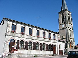 The town hall, school and church in Clézentaine | |
show Location of Clézentaine | |
 Clézentaine | |
| Coordinates: 48°24′33″N 6°32′23″E / 48.4092°N 6.5397°ECoordinates: 48°24′33″N 6°32′23″E / 48.4092°N 6.5397°E | |
| Country | France |
| Region | Grand Est |
| Department | Vosges |
| Arrondissement | Épinal |
| Canton | Charmes |
| Intercommunality | CC Région de Rambervillers |
| Government | |
| • Mayor (2008–2014) | Marie-Françoise Bajolet |
| Area 1 | 13.11 km2 (5.06 sq mi) |
| Population (Jan. 2018)[1] | 216 |
| • Density | 16/km2 (43/sq mi) |
| Time zone | UTC+01:00 (CET) |
| • Summer (DST) | UTC+02:00 (CEST) |
| INSEE/Postal code | 88110 /88700 |
| Elevation | 265–351 m (869–1,152 ft) (avg. 274 m or 899 ft) |
| 1 French Land Register data, which excludes lakes, ponds, glaciers > 1 km2 (0.386 sq mi or 247 acres) and river estuaries. | |


Clézentaine is a commune in the Vosges department in Grand Est in northeastern France.
See also[]
References[]
- ^ "Populations légales 2018". INSEE. 28 December 2020.
| Wikimedia Commons has media related to Clézentaine. |
This Vosges geographical article is a stub. You can help Wikipedia by . |
Categories:
- Communes of Vosges (department)
- Vosges (department) geography stubs