Bussang
Bussang | |
|---|---|
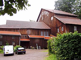 Theater | |
 Coat of arms | |
show Location of Bussang | |
 Bussang | |
| Coordinates: 47°53′11″N 6°51′15″E / 47.8864°N 6.8542°ECoordinates: 47°53′11″N 6°51′15″E / 47.8864°N 6.8542°E | |
| Country | France |
| Region | Grand Est |
| Department | Vosges |
| Arrondissement | Épinal |
| Canton | Le Thillot |
| Intercommunality | CC Ballons des Hautes-Vosges |
| Government | |
| • Mayor (2008–2014) | Alain Vinel |
| Area 1 | 27.63 km2 (10.67 sq mi) |
| Population (Jan. 2018)[1] | 1,360 |
| • Density | 49/km2 (130/sq mi) |
| Time zone | UTC+01:00 (CET) |
| • Summer (DST) | UTC+02:00 (CEST) |
| INSEE/Postal code | 88081 /88540 |
| Elevation | 568–1,221 m (1,864–4,006 ft) |
| 1 French Land Register data, which excludes lakes, ponds, glaciers > 1 km2 (0.386 sq mi or 247 acres) and river estuaries. | |


Bussang (German: Büssingen or Büssing) is a commune in the Vosges department in Grand Est in Northeastern France.
See also[]
References[]
- ^ "Populations légales 2018". INSEE. 28 December 2020.
External links[]
| Wikimedia Commons has media related to Bussang. |
| show Authority control |
|---|
This Vosges geographical article is a stub. You can help Wikipedia by . |
Categories:
- Communes of Vosges (department)
- Vosges (department) geography stubs