Luvigny
Luvigny | |
|---|---|
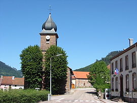 The church and town hall in Luvigny | |
show Location of Luvigny | |
 Luvigny | |
| Coordinates: 48°30′06″N 7°04′11″E / 48.5017°N 7.0697°ECoordinates: 48°30′06″N 7°04′11″E / 48.5017°N 7.0697°E | |
| Country | France |
| Region | Grand Est |
| Department | Vosges |
| Arrondissement | Saint-Dié-des-Vosges |
| Canton | Raon-l'Étape |
| Intercommunality | CA Saint-Dié-des-Vosges |
| Government | |
| • Mayor (2020–2026) | Guillaume Prunier |
| Area 1 | 3.94 km2 (1.52 sq mi) |
| Population (Jan. 2018)[1] | 117 |
| • Density | 30/km2 (77/sq mi) |
| Time zone | UTC+01:00 (CET) |
| • Summer (DST) | UTC+02:00 (CEST) |
| INSEE/Postal code | 88277 /88110 |
| Elevation | 375–810 m (1,230–2,657 ft) (avg. 430 m or 1,410 ft) |
| 1 French Land Register data, which excludes lakes, ponds, glaciers > 1 km2 (0.386 sq mi or 247 acres) and river estuaries. | |


Luvigny (French pronunciation: [lyviɲi] (![]() listen)) is a commune in the Vosges department in Grand Est in northeastern France.
listen)) is a commune in the Vosges department in Grand Est in northeastern France.
See also[]
References[]
- ^ "Populations légales 2018". INSEE. 28 December 2020.
| Wikimedia Commons has media related to Luvigny. |
This Vosges geographical article is a stub. You can help Wikipedia by . |
Categories:
- Communes of Vosges (department)
- Vosges (department) geography stubs