Baudres
Baudres | |
|---|---|
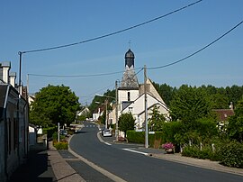 The church and the main road in the centre of Baudres | |
show Location of Baudres | |
 Baudres | |
| Coordinates: 47°03′30″N 1°34′45″E / 47.0583°N 1.5792°ECoordinates: 47°03′30″N 1°34′45″E / 47.0583°N 1.5792°E | |
| Country | France |
| Region | Centre-Val de Loire |
| Department | Indre |
| Arrondissement | Châteauroux |
| Canton | Levroux |
| Intercommunality | Région de Levroux |
| Government | |
| • Mayor (2020–2026) | Bruno Lessault |
| Area 1 | 27.4 km2 (10.6 sq mi) |
| Population (Jan. 2018)[1] | 432 |
| • Density | 16/km2 (41/sq mi) |
| Time zone | UTC+01:00 (CET) |
| • Summer (DST) | UTC+02:00 (CEST) |
| INSEE/Postal code | 36013 /36110 |
| Elevation | 110–206 m (361–676 ft) (avg. 80 m or 260 ft) |
| 1 French Land Register data, which excludes lakes, ponds, glaciers > 1 km2 (0.386 sq mi or 247 acres) and river estuaries. | |


Baudres (French pronunciation: [bodʁ]) is a commune in the Indre département in central France.
Population[]
|
|
See also[]
- Communes of the Indre department
References[]
- ^ "Populations légales 2018". INSEE. 28 December 2020.
| Wikimedia Commons has media related to Baudres. |
| show Communes of the Indre department |
|---|
This Indre geographical article is a stub. You can help Wikipedia by . |
Categories:
- Communes of Indre
- Indre geography stubs