Boncé
Boncé | |
|---|---|
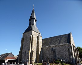 The church in Boncé | |
show Location of Boncé | |
 Boncé | |
| Coordinates: 48°18′30″N 1°30′17″E / 48.3082°N 1.5047°ECoordinates: 48°18′30″N 1°30′17″E / 48.3082°N 1.5047°E | |
| Country | France |
| Region | Centre-Val de Loire |
| Department | Eure-et-Loir |
| Arrondissement | Chartres |
| Canton | Les Villages Vovéens |
| Intercommunality | CA Chartres Métropole |
| Government | |
| • Mayor (2020–2026) | Hervé Hardouin[1] |
| Area 1 | 8.76 km2 (3.38 sq mi) |
| Population (Jan. 2018)[2] | 245 |
| • Density | 28/km2 (72/sq mi) |
| Time zone | UTC+01:00 (CET) |
| • Summer (DST) | UTC+02:00 (CEST) |
| INSEE/Postal code | 28049 /28150 |
| Elevation | 144–162 m (472–531 ft) (avg. 150 m or 490 ft) |
| 1 French Land Register data, which excludes lakes, ponds, glaciers > 1 km2 (0.386 sq mi or 247 acres) and river estuaries. | |


Boncé (French pronunciation: [bɔ̃se]) is a commune in the Eure-et-Loir department and Centre-Val de Loire region of north-central France. It lies 15 km south of Chartres and some 85 km south-west of Paris.
Population[]
| Year | Pop. | ±% |
|---|---|---|
| 1946 | 203 | — |
| 1954 | 213 | +4.9% |
| 1962 | 183 | −14.1% |
| 1968 | 164 | −10.4% |
| 1975 | 157 | −4.3% |
| 1982 | 178 | +13.4% |
| 1990 | 197 | +10.7% |
| 1999 | 193 | −2.0% |
| 2007 | 227 | +17.6% |
| 2015 | 244 | +7.5% |
See also[]
- Communes of the Eure-et-Loir department
References[]
- ^ "Répertoire national des élus: les maires". data.gouv.fr, Plateforme ouverte des données publiques françaises (in French). 2 December 2020.
- ^ "Populations légales 2018". INSEE. 28 December 2020.
| Wikimedia Commons has media related to Boncé. |
| show Communes of the Eure-et-Loir department of France |
|---|
This Eure-et-Loir geographical article is a stub. You can help Wikipedia by . |
Categories:
- Communes of Eure-et-Loir
- Eure-et-Loir geography stubs