Saint-Jean-le-Comtal
Saint Jean le Comtal | |
|---|---|
 Saint-Jean-le-Comtal seen from the West | |
 Coat of arms | |
show Location of Saint Jean le Comtal | |
 Saint Jean le Comtal | |
| Coordinates: 43°34′42″N 0°31′14″E / 43.5783°N 0.5206°ECoordinates: 43°34′42″N 0°31′14″E / 43.5783°N 0.5206°E | |
| Country | France |
| Region | Occitanie |
| Department | Gers |
| Arrondissement | Mirande |
| Canton | Auch-1 |
| Intercommunality | Val de Gers |
| Government | |
| • Mayor (2020–2026) | Éric Bonnet |
| Area 1 | 17.15 km2 (6.62 sq mi) |
| Population (Jan. 2018)[1] | 412 |
| • Density | 24/km2 (62/sq mi) |
| Time zone | UTC+01:00 (CET) |
| • Summer (DST) | UTC+02:00 (CEST) |
| INSEE/Postal code | 32381 /32550 |
| Elevation | 145–271 m (476–889 ft) (avg. 154 m or 505 ft) |
| 1 French Land Register data, which excludes lakes, ponds, glaciers > 1 km2 (0.386 sq mi or 247 acres) and river estuaries. | |


Saint-Jean-le-Comtal (French pronunciation: [sɛ̃ ʒɑ̃ lə kɔ̃tal]; Occitan: Sent Joan lo Comdau) is a commune in the Gers department in southwestern France.
Geography[]
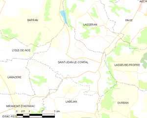
Saint-Jean-le-Comtal and its surrounding communes
Population[]
| Year | Pop. | ±% |
|---|---|---|
| 1962 | 309 | — |
| 1968 | 331 | +7.1% |
| 1975 | 286 | −13.6% |
| 1982 | 333 | +16.4% |
| 1990 | 318 | −4.5% |
| 1999 | 348 | +9.4% |
| 2008 | 380 | +9.2% |
See also[]
- Communes of the Gers department
References[]
- ^ "Populations légales 2018". INSEE. 28 December 2020.
External links[]
| Wikimedia Commons has media related to Saint-Jean-le-Comtal. |
| show Communes of the Gers department |
|---|
| show Authority control |
|---|
This Gers geographical article is a stub. You can help Wikipedia by . |
Categories:
- Communes of Gers
- Gers geography stubs